ARCTIC LANDSCAPE EXPLORER (ALEX)
Leads: Anna Irrgang and Tillmann Lübker, Alfred Wegener Institute
The Arctic Landscape EXplorer (ALEX) presents land surface change data derived from remote sensing analysis of the permafrost regions throughout the Arctic. Interactive maps provide up-to-date information on land surface changes, hotspots of disturbance, and potential areas of active permafrost thaw and erosion. Using tailored visualizations and story maps as a means to more effectively communicate scientific observations of change, the tool is specifically addressing non-scientific user communities, stakeholders, and rights holders in the Arctic.

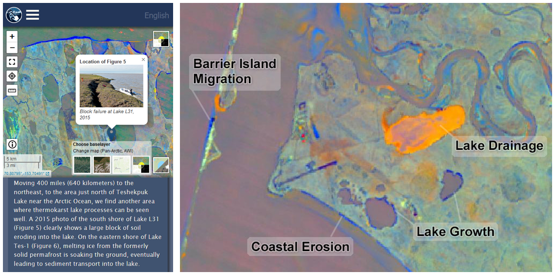
In the landscape change map, flashy colors indicate a substantial change in the landscape. For example, coastal erosion (a trend of a land surface transitioning to a water surface) is depicted in dark blue colors, while coastal accretion (a trend of a water surface transitioning to a land surface) is depicted in bright orange colors. More information about how to interpret the landscape change data can be found on the About page.
News highlights

Arctic PASSION final results factsheet

Expanded Functionalities for the Arctic Landscape EXplorer (ALEX)

Arctic PASSION Innovation Exhibition

The Arctic Landscape Explorer (Alex) – An Arctic Passion Permafrost Service

Permafrost Field Work And Consultations On The Arctic Landscape Explorer (Alex) In Western Alaska

Integrating local environmental observations and remote sensing for researching permafrost landscape changes
Work On The Shared Arctic Variable On Permafrost – Living On Frozen Ground Continues
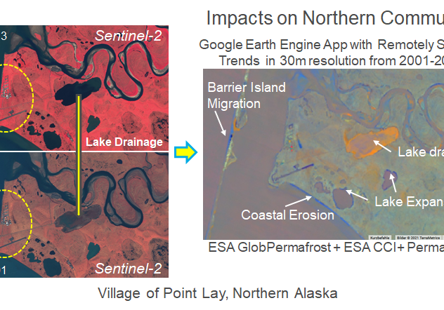
Preliminary Tool To Explore Changing Arctic Permafrost Regions
