Posts Tagged ‘Remote Sensing’
New Method To Map Wildfire Fuel Types For Improved Risk Management
To assess wildfire risks and develop effective strategies for reducing and managing wildfires, it is crucial to understand what fuels them. The recently published Arctic PASSION research introduces a new methodology for mapping fuel types using remote sensing data. The frequency and extent of wildfires in the Arctic have increased in recent decades. Additionally, the…
Read MoreThe Arctic Landscape Explorer (Alex) – An Arctic Passion Permafrost Service
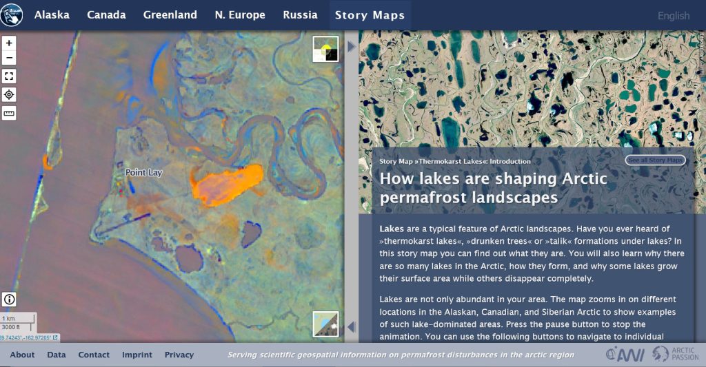
Near the Native Village of Point Lay (Iñupiaq: Kali) on Alaska’s Chukchi coast, a lake drained into the nearby Kokolik River in August 2016. Not an uncommon occurrence, as dozens of lakes in Alaska have disappeared in recent years. However, the lake was used as a freshwater source for the village, forcing the community to…
Read MoreFinally, We Have The Technology To Observe Trends In Permafrost Landscape Change In The Arctic
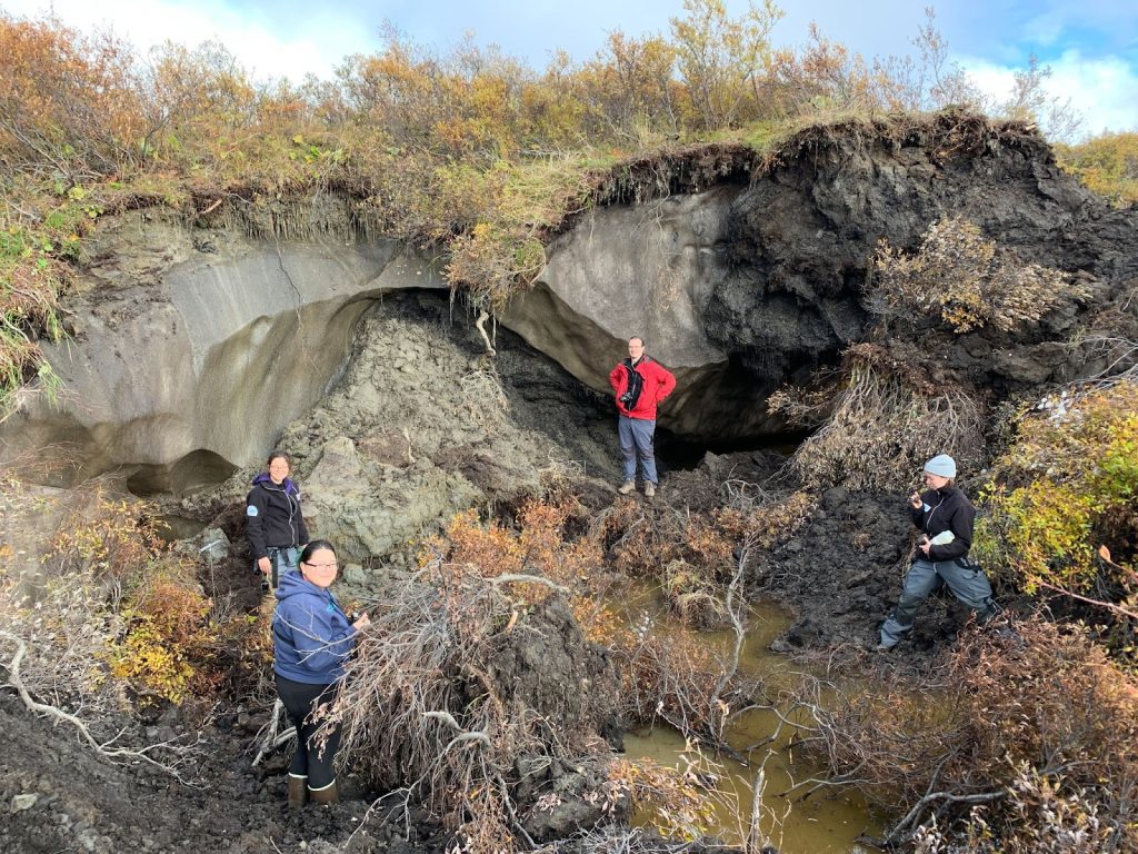
Introducing ALEX, the Arctic Landscape EXplorer: A new map tool for monitoring pan-Arctic trends of permafrost landscape change Arendal, Norway / Potsdam, Germany – Permafrost (from ‘permanent’ and ‘frost’) is ground that continuously remains at or below 0° C for at least two consecutive years. Around 15% of the land surface in the Northern Hemisphere…
Read More