Posts Tagged ‘Alaska’
Finally, We Have The Technology To Observe Trends In Permafrost Landscape Change In The Arctic
Introducing ALEX, the Arctic Landscape EXplorer: A new map tool for monitoring pan-Arctic trends of permafrost landscape change Arendal, Norway / Potsdam, Germany – Permafrost (from ‘permanent’ and ‘frost’) is ground that continuously remains at or below 0° C for at least two consecutive years. Around 15% of the land surface in the Northern Hemisphere…
Read MorePermafrost Field Work And Consultations On The Arctic Landscape Explorer (Alex) In Western Alaska
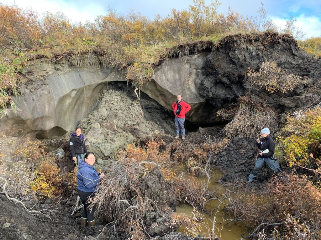
Please enjoy this firsthand account of permafrost fieldwork in Alaska by Tillmann Lübker, a geospatial data scientist at the Alfred Wegener Institute Helmholtz Centre for Polar and Marine Research’s Department of Permafrost Research. Chunks of slush slide across the bare ice and land on the muddy ground with a dull sound. After traversing a dense willow…
Read MoreIntegrating local environmental observations and remote sensing for researching permafrost landscape changes
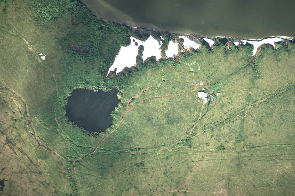
The formation and drainage of lakes in the Arctic represent dominant landscape change processes in permafrost regions. Better understanding these processes and documenting drainage events is of importance to climate change research, wildlife and habitat studies, access to subsistence resources, and the wellbeing of northern socioecological systems. During an AWI Perma-X ground expedition in northwestern…
Read More